


Have you ever looked at a nautical chart or sailed on the waves? Then you probably know the Shom (Hydrographic and Oceanographic Service of the Navy). Often seen as a simple publisher of nautical charts, the Shom actually undertakes a much broader range of missions, serving the armed forces and the nation. Maritime risk prevention, seabed analysis, marine environment protection, support to the French Navy… the data collected by the Shom is crucial and has been for 300 years!
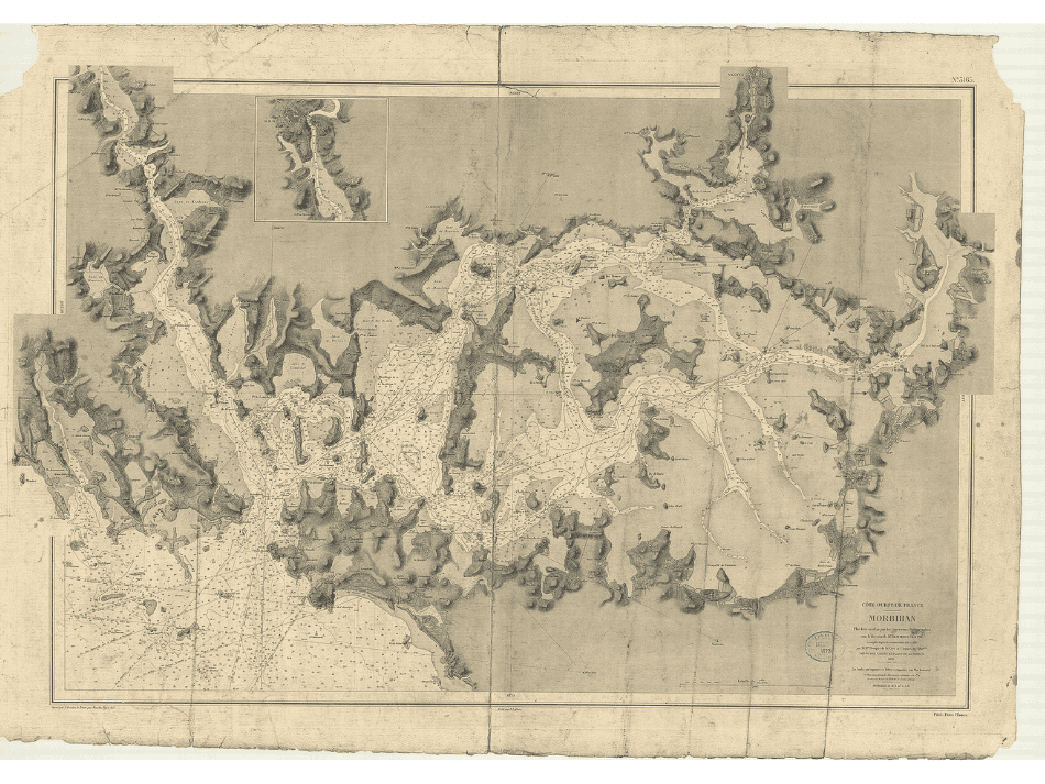
A key player in maritime knowledge
With 11 million km² of maritime space under sovereignty and jurisdiction, France ranks as the second largest country in terms of maritime area worldwide. The Shom has been studying and analyzing this vast playground in all its facets since 1720. It is thus one of the oldest hydrographic organizations in the world. Since 2006, attached to the Ministry of Armed Forces, its mission is to understand the marine environment, the seabeds, coastal areas, to predict their evolution, and to ensure the dissemination of this information.
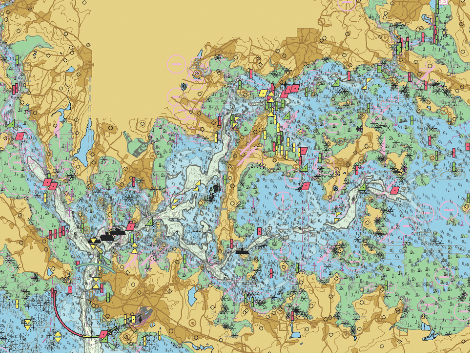
Nicolas Weber, a marine geology PhD holder and hydrographic engineer at the Shom, explains: « The Shom encompasses a wide variety of actions, divided into three main sectors of activity: national hydrography (nautical document instructions), operational support for Defense, and making the collected data available to public authorities and maritime stakeholders to support their coastal policies. »
The Shom excels in many areas, including:
Geographic information
Bathymetry (measurement of depths)
Sedimentology (study of marine sediments)
Coastal hydrodynamics (study of water movements)
Oceanography
Did you enjoy this excerpt?
Read the full article.
READING TIME ≈ 10 min
Dive into the heart of PLONGEZ! Magazine
To enjoy this article and its exclusive content, a modest contribution is required.