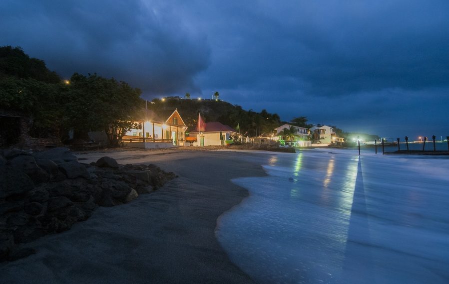
La reputation of Saint-Eustache in the Caribbean in terms of historical dives is well established. More recently, the island has recovered from the passage of Hurricanes Irma and Maria by discovering a new wreck that enriched its underwater museum…
Text by Ruud Stelten / Photos by Mike Harterink
Translation and adaptation: Sandrine Leveugle-Souan
White sandy beaches, warm seas, and a refreshing beer in a local bar are the first things that come to mind when visiting the Caribbean. This region is a popular vacation destination for people from around the world.
However, this paradise has its dark side. Every year, between July and October, Mother Nature shows her most extreme side here. In September 2017, Irma and Maria, two of the most violent hurricanes in the Atlantic, hit the Caribbean. In Saint-Martin, Irma wreaked destruction in its path. Neighboring islands Saint-Eustache (Statia) and Saba also suffered destruction, but on a much smaller scale.
Although they had obvious effects on land, Irma and Maria also caused underwater impacts. In Saint-Eustache in particular, something extraordinary happened: the hurricanes shifted large quantities of sand on the seabed, creating deep craters around certain dive sites. These craters are littered with archaeological remains from the colonial period, when Saint-Eustache was one of the busiest ports in the world. Next to the Triple Wreck dive site – one of the island’s most renowned –, a historical shipwreck was uncovered.
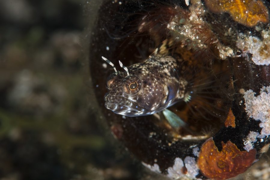
A few days after the two hurricanes passed, the team from the Scubaqua dive center conducted several dives to assess the state of Saint-Eustache’s sites. What they discovered exceeded their wildest expectations: every site was littered with archaeological objects, it was like diving into an underwater museum. This is not surprising given the history of this 25 km island2: in the 18th century, Saint-Eustache, called Statia by locals, was one of the busiest ports in the world. In 1756, the island was declared a free port, where goods were exchanged free of tax. Every year, thousands of ships anchored in the harbor to trade European goods, African slaves, and Caribbean products such as sugar and rum. Hundreds of warehouses brimming with goods animated the town, and the island quickly earned the nickname the « Golden Rock. » In addition, Saint-Eustache played an important role during the American War of Independence (1775-1783), during which significant quantities of arms, ammunition, and gunpowder were shipped to the rebels in their fight for independence. When the island’s free trade was abolished under French rule in 1795, the economy of the Golden Rock collapsed and the island became a forgotten colony.
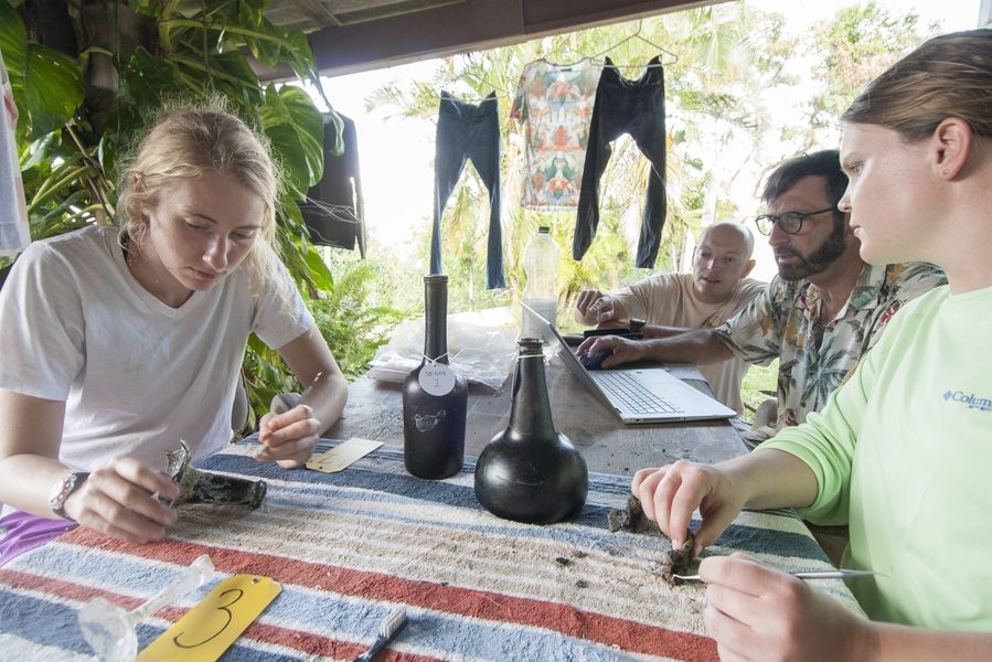
Faced with these discoveries, the Scubaqua team immediately contacted Ruud Stelten, an archaeologist specializing in the maritime history of Statia who would certainly be interested in the emergence of these new archaeological remains (the island already boasts a number of wrecks frequented by divers). Three months later, Ruud landed at Saint-Eustache airport with eight students and equipment to document the new remains in minute detail: » Based on Scubaqua’s descriptions, it looked like a previously unknown shipwreck. It was of utmost importance to document this discovery as quickly as possible before it was again covered by shifting sand, or worse yet, before treasure hunters plundered the wreck, which would irretrievably lose precious information.»
When imagining a historical shipwreck in the Caribbean, one should not expect a fully intact wooden hull at the bottom of the sea. Most of the wood is usually eaten by Teredo navalis, a shipworm bivalve mollusk, so the site generally does not resemble the remains of a ship. Usually, only non-organic objects such as a pile of ballast, cannons, anchors, and objects transported by the ship, such as ceramics, wine bottles, and crew’s personal belongings, remain. Remnants of wooden hull can, however, be found under the pile of ballast. This wood can be dated using dendrochronology (a method of dating by studying growth rings in tree trunks).
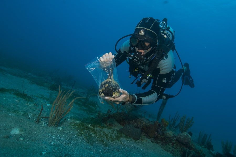
After a few days of preparations and a control dive on one of Statia’s intact reefs, the researchers are ready to begin the investigation. They are in luck because the conditions are perfect all week, with crystal-clear waters and little current. They start their meticulous work by mapping the wreck site in great detail. » The first step was to hand-fan the site to remove the thin layer of sediment that still covered most of it », explains Ruud. » Once everything was cleaned, it was time to apply one of the latest techniques in underwater archaeology: photogrammetry, that is, creating a 3D model based on numerous photos taken from different angles. If these photos have sufficient overlap, a computer program can calculate the relative position from which each photo was taken and create a three-dimensional representation of the wreck. Such a model is an extremely accurate documentation method. It also offers the public the opportunity to visit the site and discover it without having to dive. Furthermore, a 3D model provides a reference base, a detailed record of the wreck at a given time, which can be used to track changes on the site as it has been altered by natural processes or human interference.»
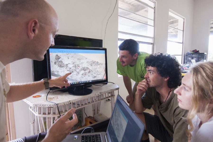
After taking the photos for the 3D model and putting the computer to work (which can take several days), the team continues its mission by setting up a measuring grid to map all the remnants of the wreck. » It’s not just the remains themselves that inform us about the past, but also the place where they are found in relation to each other », explains Stelten. » It is therefore crucial to document the exact location of each object. These measurements will then be added to the 3D model. The model is very accurate, but the smallest finds, such as small pieces of ceramic or glass, can be difficult to see. In theory, manually recording these finds is quite simple: a measuring tape is placed along the entire length of the wreck, held in place by metal pins. From this baseline, a second measuring tape is used to record the distances of all the remains on the site at a 90-degree angle between the two bands. In practice, however, this task is often not as simple as it appears: one must have excellent buoyancy control to avoid disturbing the site or destroying marine life like corals and sponges. Moreover, the slightest current can bend the measuring tape, causing incorrect measurements. » To position the wreck on a map of the surroundings, the team inflates a parachute at the 0 point of the line and then records the position on the surface by GPS.
Before starting the next phase of research, the team undergoes an intensive underwater photography course with the dive center. » One of the most important aspects of any archaeological research project is to set up good documentation based on photos », explains Mike, one of Scubaqua’s owners and an underwater photographer. » These are important for the scientific aspect, but also for promoting the project and disseminating results to the general public.»
Armed with Mike’s valuable knowledge, the team embarks on photographing all aspects of the site, from the smallest objects to overview plans of the entire team’s work.
But data collection and fieldwork only constitute a small part of an archaeological project. Researchers then work to find out exactly what happened to the discovered ship: how old is the wreck? Where did the ship come from? What was it carrying? Why did it sink? The remains found on the wreck tell part of the story, like the crew’s personal belongings – ceramic and metal plates, spoons, wine bottles and glasses, clay tobacco pipes, and shoe buckles. Perhaps the most interesting object was a metal ankle shackle, used to chain enslaved Africans in the ship’s hold. The wreck could be that of a slave ship, but further research is needed to confirm this theory.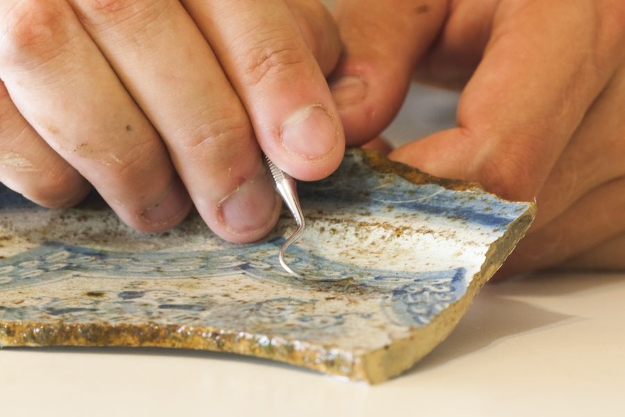 Furthermore, a number of iron fasteners were discovered that were used for the ship’s construction, and several barrel hoops that likely were used for transporting rum. Archaeologists were also struck by the presence of hundreds of Dutch yellow bricks, which were used as ballast on ships during the journey to the Americas and then as building materials once they arrived in the Caribbean. The fact that the ballast was still present on the ship suggests that it sank shortly after arriving in Statia.
Most of the remnants could be dated by the team, providing an indication of when the ship sank, around the year 1745. The fact that it sank in the middle of the roadstead – a sandy area 20 meters deep – is another important clue: no naval battles are known to have taken place around the island to date, and given the absence of a rock the ship could have struck, the most likely explanation for the shipwreck is a hurricane. Historical records show that Saint-Eustache was hit by a powerful hurricane in 1747. Of the 74 ships anchored at the island, only six survived the storm and over 300 people drowned. It is highly likely that the newly discovered wreck is part of the 68 ships that sank during this hurricane.
Research continues and important remnants will be raised in the hope of further identifying the ship and thus solving another piece of the complex puzzle that is the history of Saint-Eustache.
The Scubaqua dive center already offers you the opportunity to discover this new wreck, as well as many historically significant sites: Double Wreck with its anchors and ballast stones, Anchor Point with its old French anchor dated 1780, Blue Bead Hole with its blue beads or Lost Anchor, where the number of anchors present is countless…
Ruud Stelten
To get to Saint-Eustache :
– Regular flights to St. Martin from Paris and Amsterdam. The local airline WinAir allows you to reach St. Eustache in 20 minutes from St. Martin, where you are greeted by the dive center for your hotel transfer. On some codeshare flights, the connection in Saint-Martin allows you not to have to claim your luggage for your transfer.